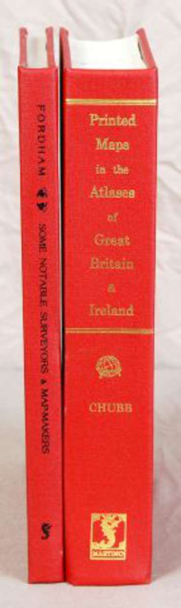
(Cartographie). CHUBB (Thomas). The Printed Maps in the Atlases of Great Britain and Ireland. A Bibliography,
Numéro d'ordre : 122
Vente : LIVRES Part 1 le vendredi 20 octobre 2017 14:00
(Cartographie). CHUBB (Thomas). The Printed Maps in the Atlases of Great Britain and Ireland. A Bibliography, 1579-1870. Londres, 1927 (Réimpression, 2004). In-8, (1) f : frontispice + XVII + 479 pp, toile de l'éditeur. Nombreuses reproductions hors texte. On joint : - FORDHAM (Herbert George). Some Notable Surveyors & Map-Makers of the Sixteenth, Seventeenth & Eighteenth Centuries and their Work. A Study in the History of Cartography. Cambridge, 1929 (Réimpression, 2005). In-8, XII + 99 pp, toile rouge de l'éditeur. 9 illustrations dont le frontispice et 3 planches hors texte.
Livres - Manuscrits - Autographes - Bandes dessinées
Demande de renseignements :
Salorges Enchères s'engage à ne pas utiliser les informations vous concernant à d'autres fins que répondre à votre demande. Vous disposez d'un droit d'accés, de modification, de rectification et de suppression des données qui vous concernent (art. 34 de la loi "Informatique et Libertés"). Pour l'exercer, adressez vous à sarlkac@orange.fr
* Champs obligatoires
Télécharger les documents :
Plus d’informations sur la vente
LIVRES Part 1
Importante Bibliothèque
BIBLIOGRAPHIQUE, DOCUMENTALISTE ET POLYGLOTTE
Consultant : Eric SEGUINEAU Tél. : 06.65.24.00.30 Email : ericseguineau@gmail.com
Samedi 21 Octobre à 11 h Nombreuses Manettes
Inscription Interenchère-Live
Lieu de vente :
Nantes
8 Bis Rue Chaptal, 44100 Nantes
Le vendredi 20 octobre 2017 14:00
Exposition :
19/10/2017 de 15:00 à 18:00
20/10/2017 de 9:00 à 12:00
Autres lots de la vente
-
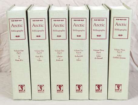
Arctic Bibliography. Prepared for and in cooperation with the department of Defense under the direction
-
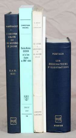
(Gravure . XVIIIe siècle). MICHEL (Christian). Charles-Nicolas Cochin et le livre illustré au XVIIIe
-
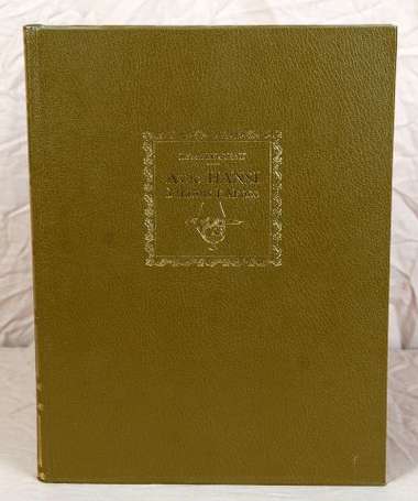
(Alsace . Hansi). PERREAU (Robert). Avec Hansi à travers l'Alsace. Le livre du centenaire de Hansi 1873-1973.
-
»
Tous
les lots